Our intelligent UAV systems perform large-scale aerial inspection by automated collection of various types of data. Depending on the integrated sensor systems, e.g. photo, video, infrared (IR) night-vision cameras or LIDARs, high-definition multispectral images and point clouds can be obtained even from high-risk or hard-to-access areas.
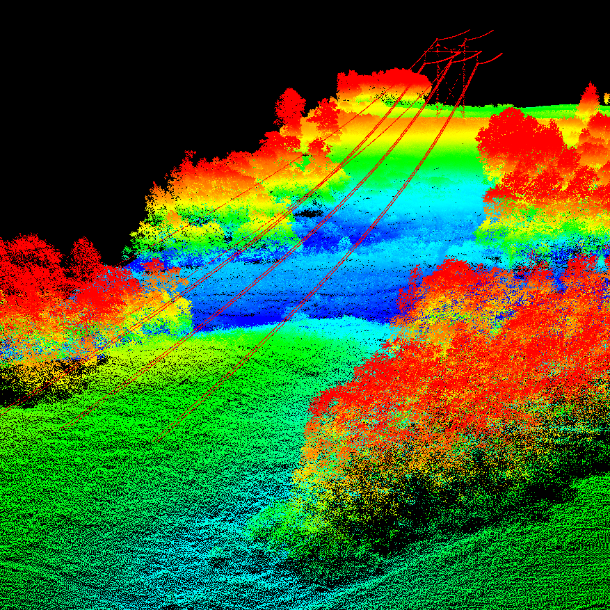
Forming 3D point clouds
- Modern LIDAR systems
- Superb point density
- Large-scale 3D measurements with centimeter resolution
Applications:
- Infrastructure inspection
- Measuring constructions
- Terrain analysis
- Roads, railways, waterways
- Etc.
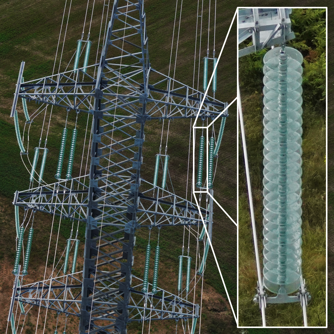
Identifying details
- 20-120 megapixel images
- High magnification
- Nadir, oblique or both
Applications:
- Inspection of infrasctructure
- Cartography, mapmaking
- Agriculture assessment
- Forestry monitoring
- Aerial photography
- Etc.

Capturing action
- 2K, 4K, 6K resolution
- Real-time view
- High-speed filming
Applications:
- Emergency inspection
- Detailed live video-monitoring
- High FPS rate imaging
- Etc.

Intelligent colors
- UV-Vis-IR range
- Custom multiband solution
- High image resolution
Applications:
- Precision agriculture
- Vegetation identification
- Plantation assessment
- Etc.

Seeing the invisible
- High-res thermovisual imaging
- Identification of small temperature differences
Applications:
- Infrastructure inspection
- Wildlife monitoring
- Rescue operations
- Security and defence
- Etc.
Judging the air
- Precise air pollution sensor
- High mobility UAV solution
- Localized or delocalized probing
Applications:
- Air quality assessment
- Public places
- Buildings
- Industrial constructions
- Etc.

Managing risks
- High-sensitivity radiation detectors
- High mobility UAV solution
- Localized or delocalized probing
Applications:
- Periodic survey
- Patrolling in high-risk areas
- Buildings
- Industrial constructions
- Etc.